
Marquette, Michigan; Sheet X
2022
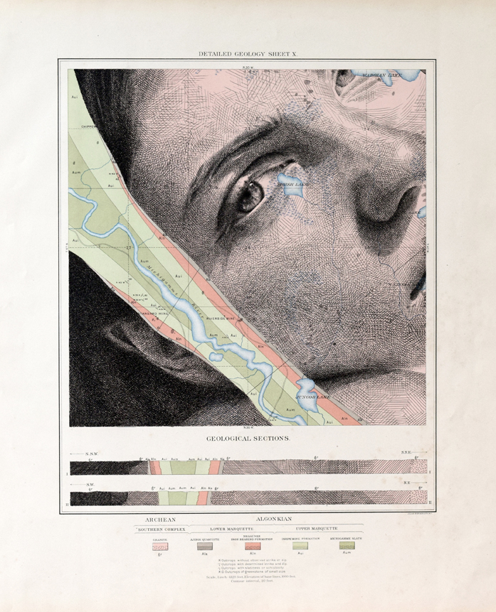
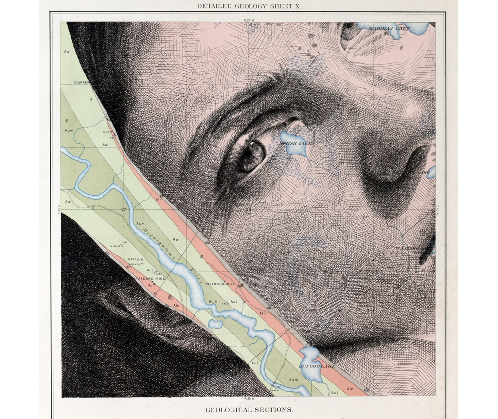
Base map is a page from an original 1896 geological atlas of the Marquette iron-bearing district, Michigan. The two bars at the bottom of the page are cross sections represented by two different lines on the map. The map itself shows a two dimensional area, and each cross section shows depth. All colours represent different geological formations.
16.75″ x 21″
Original sold.